Territory analysis is slow and opaque
Urban potential assessment takes months, requires multiple contractors, and often relies on fragmented data and assumptions
For Public Authorities
Automated planning analysis, infrastructure adequacy checks, and scenario generation based on local standards
Urban potential assessment takes months, requires multiple contractors, and often relies on fragmented data and assumptions
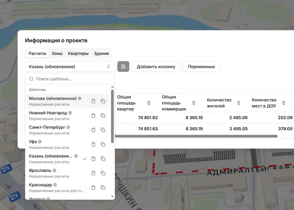
The platform calculates development potential, checks social infrastructure adequacy, and compares scenarios with transparent KPI outputs
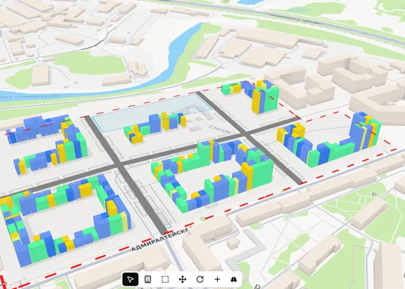
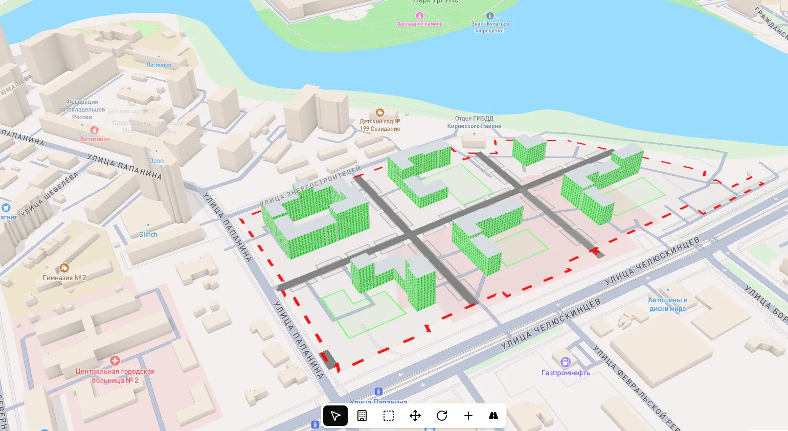
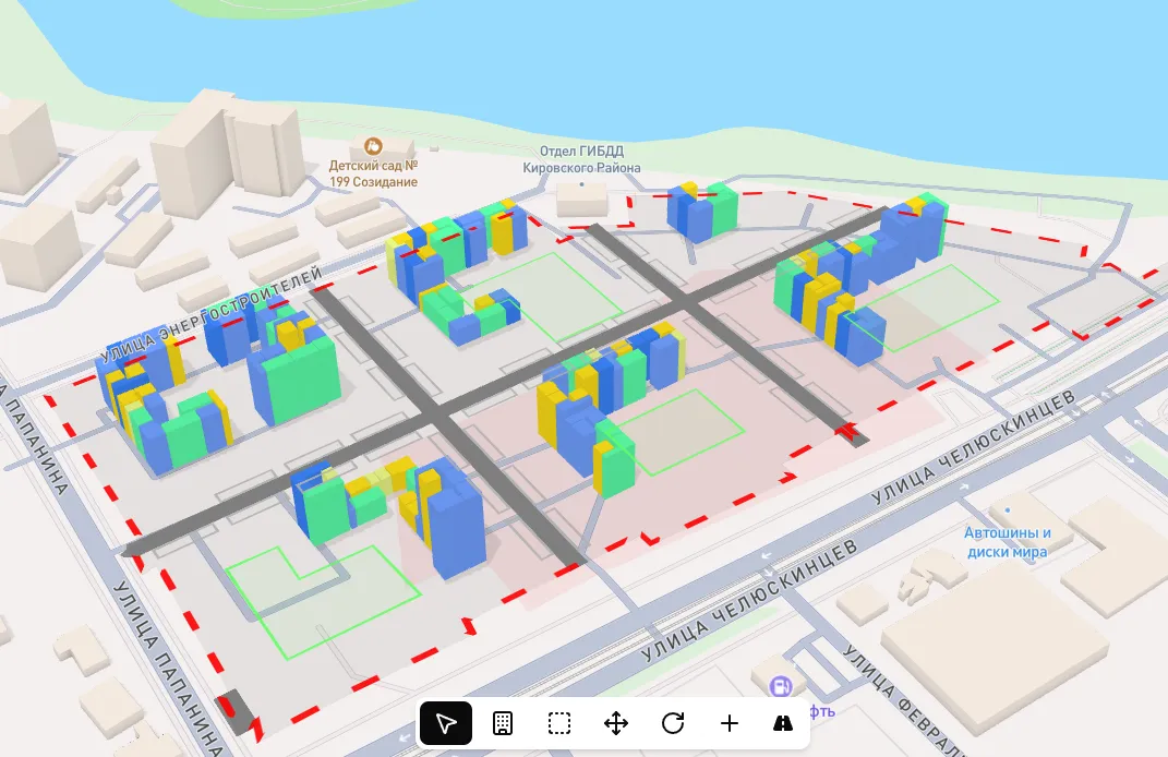
Complete analytics cycle - from territory boundaries to scenario comparison and decision-ready reports
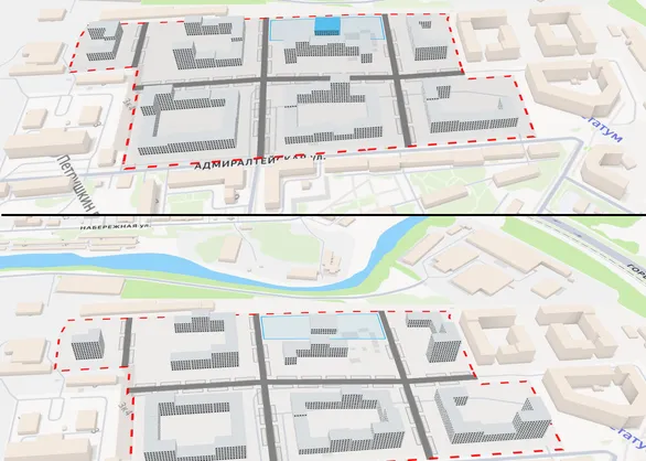
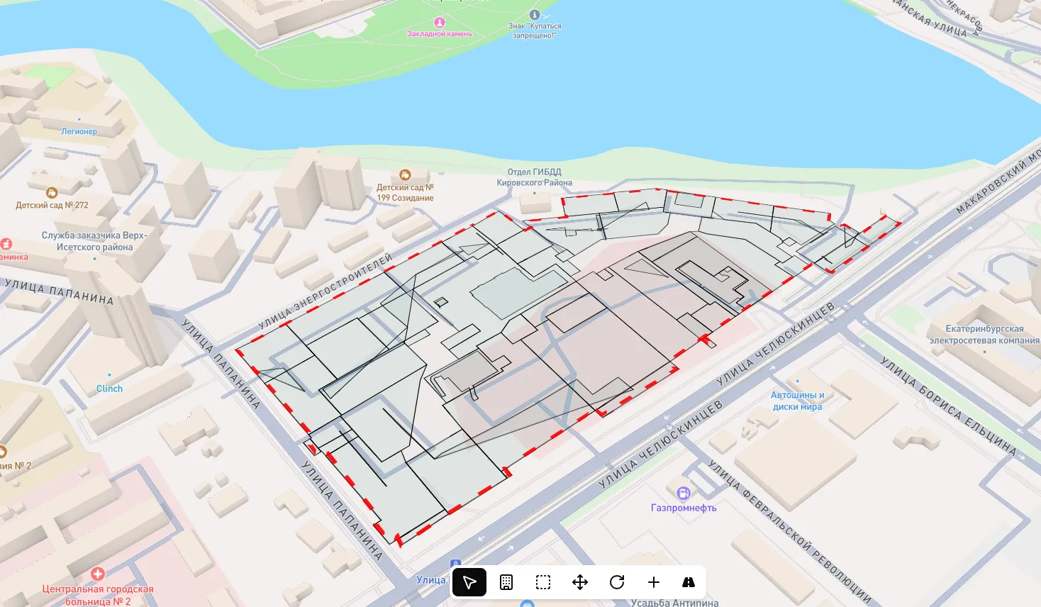
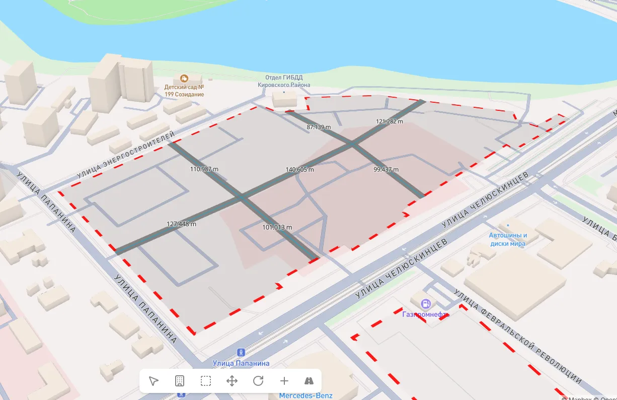
Import XML and DXF cadastral data files - the platform automatically creates site boundaries. Manage zoning: assign areas for kindergartens, schools, parking, and other facilities directly on the map.
What You Get
Every scenario includes standards-based calculations and KPI evidence
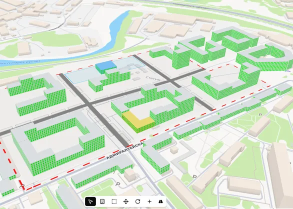
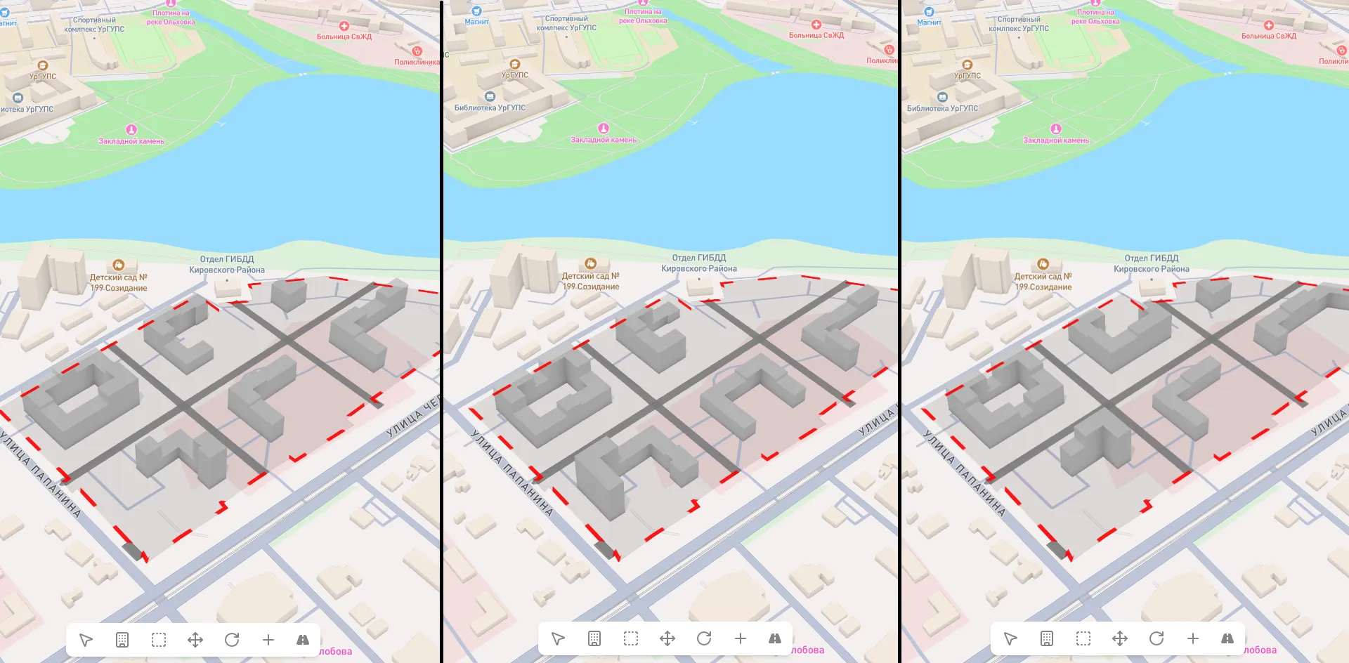
Compare multiple development strategies with different density and typology
One shared digital territory model for all stakeholders
Territory analysis in days instead of months
Why UrbanSketch
Assess planning potential in days instead of months
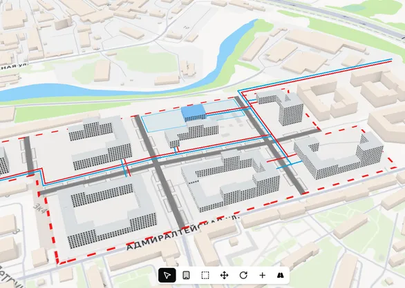
Built-in local standards with automatic adequacy checks
Transparent calculation logic and reproducible KPI results
One platform for committees, planners, and investors
Real examples
Planning
A city administration evaluated five redevelopment sites with full infrastructure adequacy calculations within one working week
Scenarios
Prepared three alternative development scenarios with different population density and typologies for public hearings
Control
Rapid pre-approval checks of private concepts against standards and social infrastructure requirements
10x
Faster territory analysis
5+
Scenarios per week
100%
Standards compliance checks
0
External contractors at analysis stage
Invest in planning decision quality
Each plan represents a level of analytical depth. Choose what fits your municipal or regional scope
$0
limited time - 1 month
Get to know the platform. Basic modeling, manual building placement, KPI calculation with standard regulations
$1,900 / year
$190 / mo -> $158 / mo $158 / mo billed yearly
Full site potential evaluation. Data import, insolation calculation, map integration, and result export
$4,900 / year
$590 / mo -> $408 / mo $408 / mo billed yearly
Systematic site evaluation with maximum building generation and social infrastructure placement
$8,900 / year
$990 / mo -> $741 / mo $741 / mo billed yearly
Enterprise deployment for large developers. Extended scenarios and priority support
On request
Maximum analytics level considering road network, existing social facilities, and utility infrastructure
Platform demo
Full cycle: from territory boundaries to development scenarios with standards-based KPI outputs